Paris, building by building
October 2026 · Self-initiated
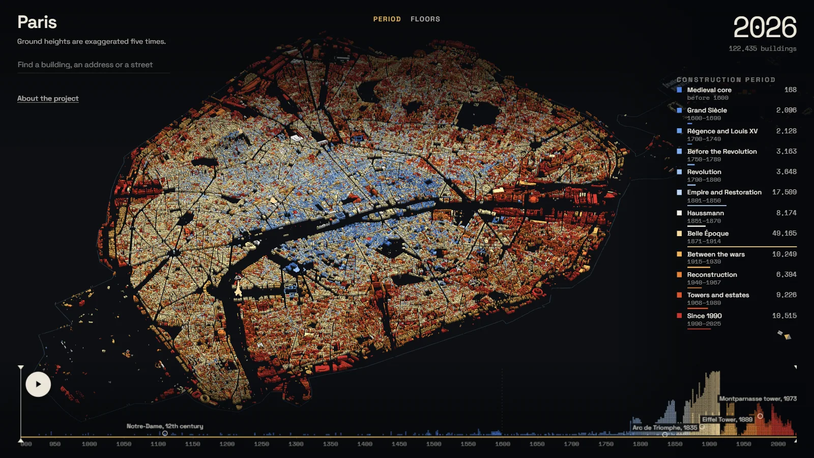
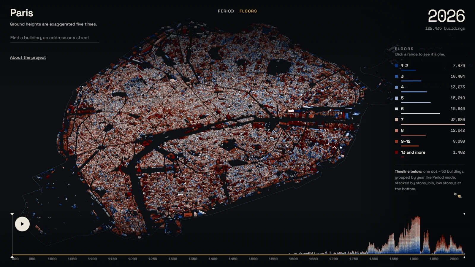
All 122,435 buildings of Paris, each standing in the year it was built. Play the city from the 12th century to today, open any street as a row of façades, or walk it at eye level.
The task
Self-set. Maps that colour a city's buildings by age are a known genre: Amsterdam, Brooklyn, Paris itself at least twice. Another one was not the point. I wanted to add something to the idea.
The result
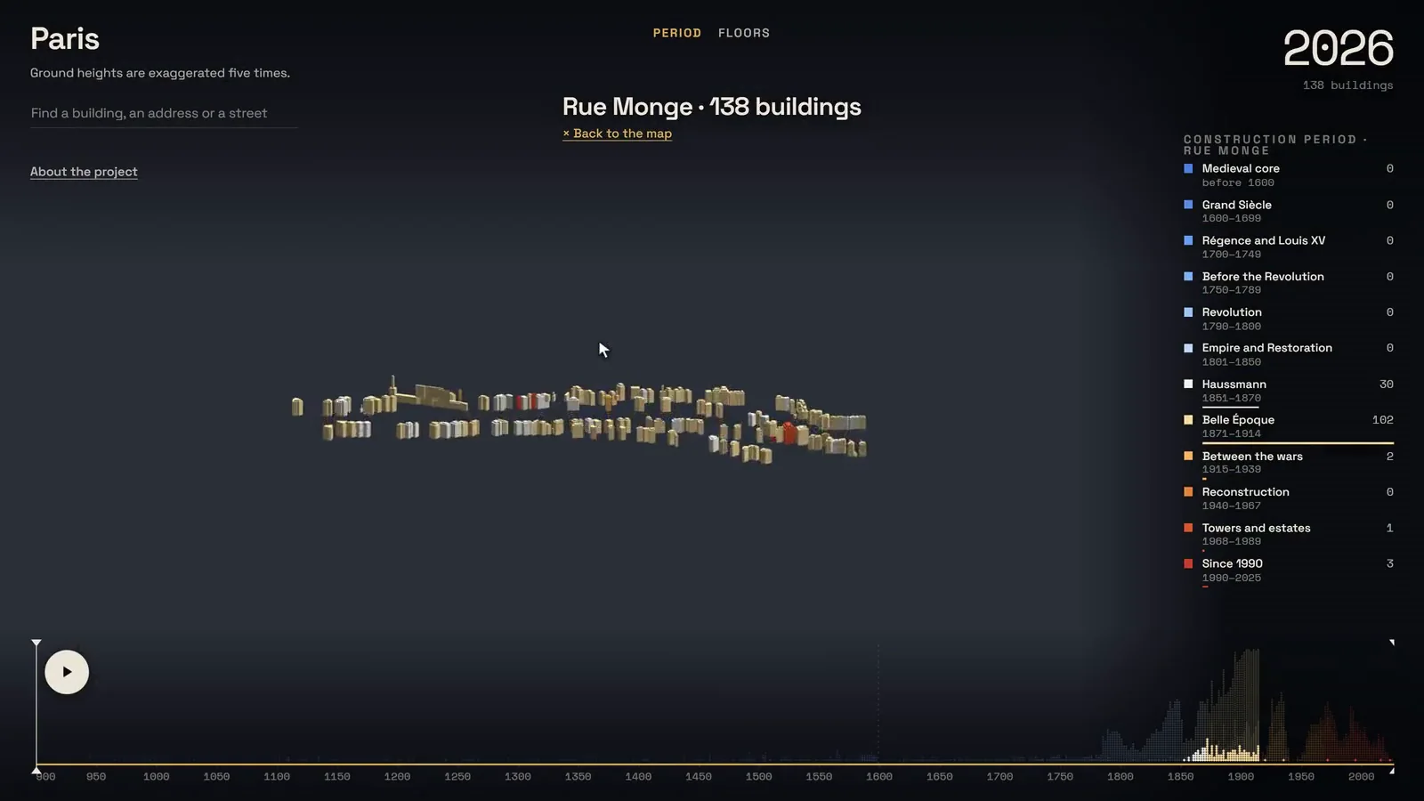
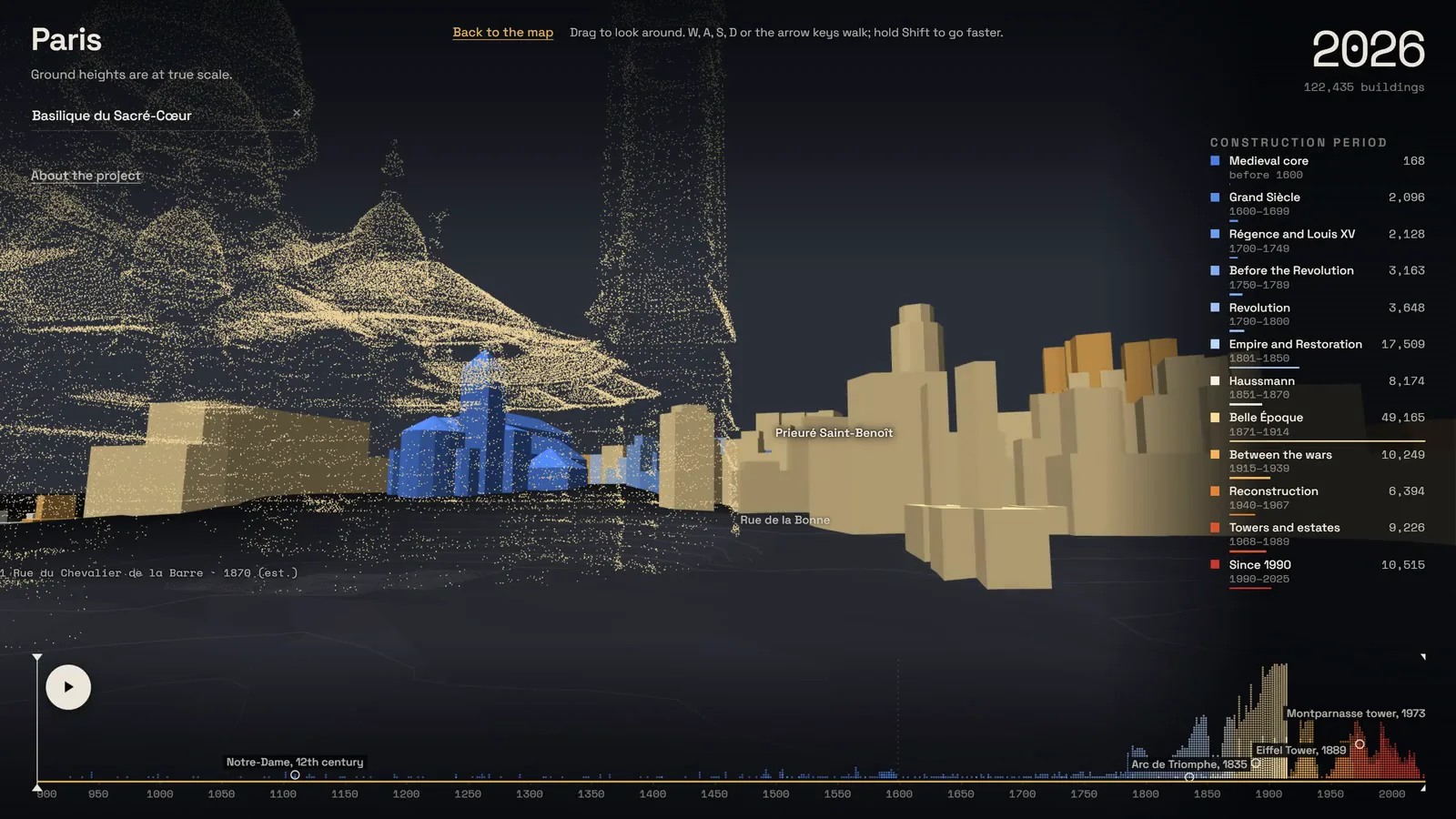
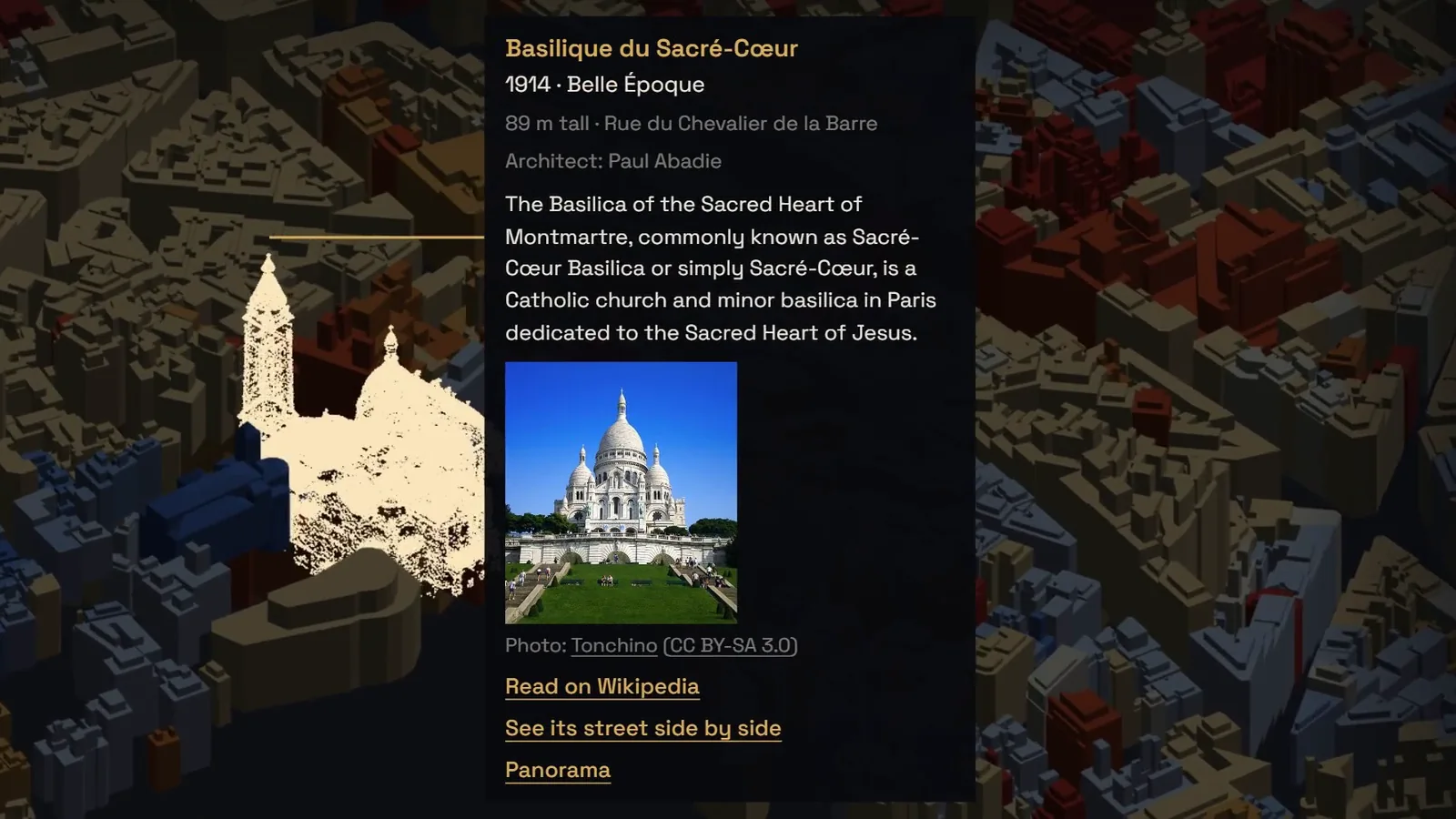
What is new here. The city stands in 3D and turns any way you like, so a district can be looked at as a place and not as a pattern. Buildings are more than boxes: roofs and domes are assembled from OpenStreetMap parts, so Notre-Dame or the Panthéon are recognisable from the air. And two modes I have not seen on an age map before. Street mode: any street opens as two rows of façades facing each other, every house at its true place, with its year and its number. Panorama: you stand in that street at eye level and walk it. Under all this, 122,435 buildings dated from the city's register, from Mérimée and from the national address base, on real ground. Live at paris.bogachev.fr.
Project sheet
- My role
- Everything, solo. Concept, data, 3D engine, design, code.
- Data
- APUR building register, Mérimée (historic monuments), Base Adresse Nationale, OpenStreetMap, IGN RGE ALTI terrain.
- Scale
- 122,435 buildings, 8,546 streets, 771 monuments.
- Built with
- WebGL, geometry built in workers, a binary payload streamed in tiles.
- When
- September to October 2026.
How it works