Dubai Traffic Incidents Map
July 2026 · Méridien
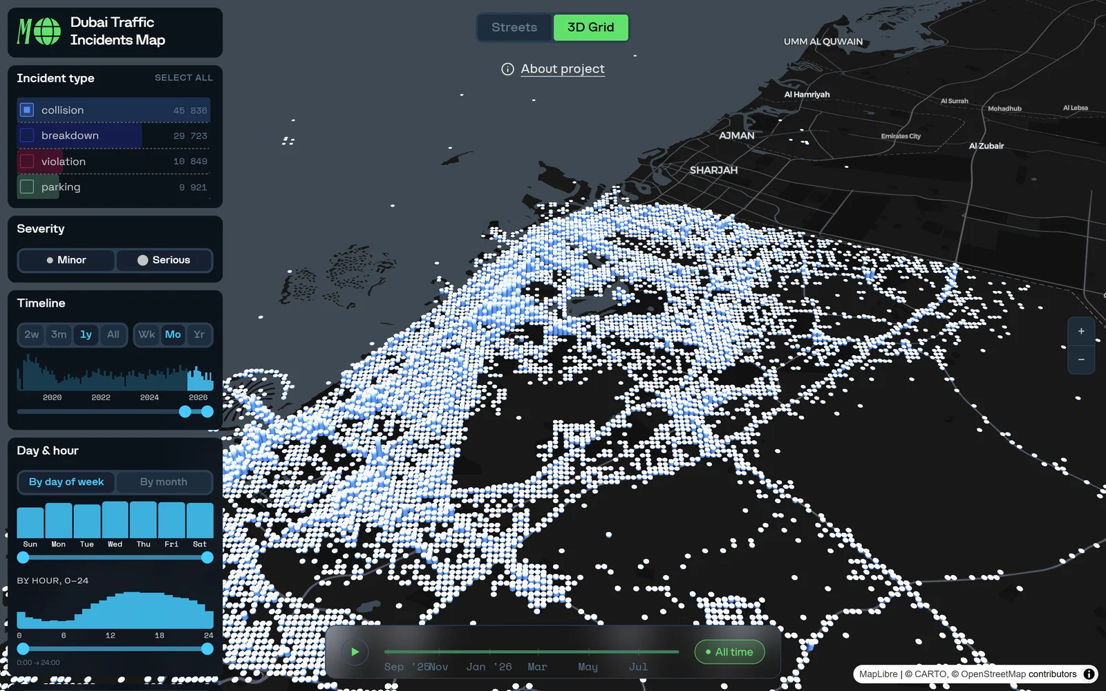
709,000 traffic incidents since 2018, mapped street by street across 11,000 road segments: severity, type and time of day, updating itself close to real time. Made at Méridien; data from Dubai Police via Data.Dubai.
The task
Made at Méridien: turn eight years of official Dubai Police collision records into a public map anyone can read, with no analyst in the loop.
The result
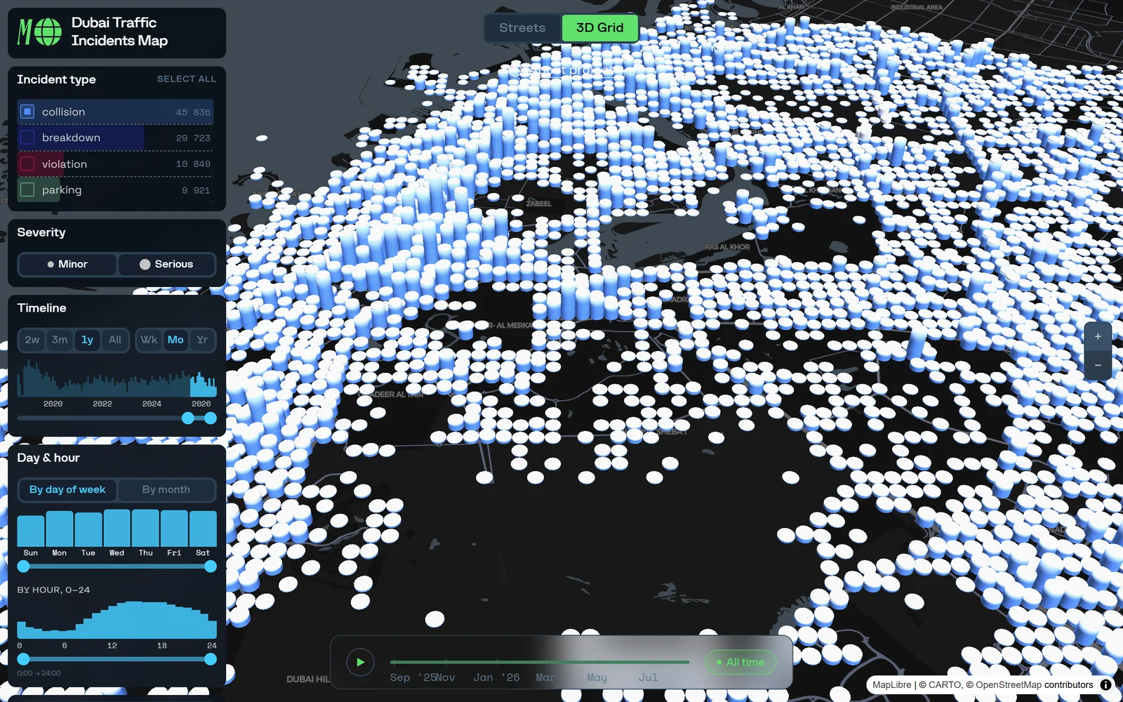
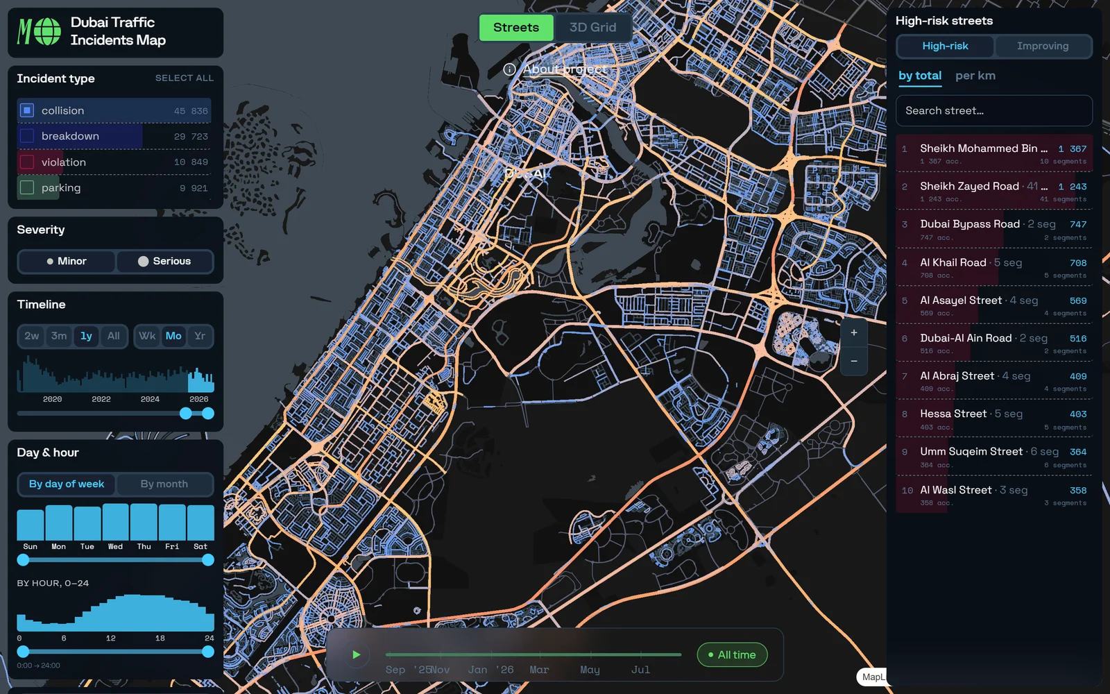
An interactive map live at traffic-incidents.mrdn.world: 709,000+ incidents aggregated onto 11,000 road segments, by severity, type and time, with a time-lapse view. It updates itself from the Data.Dubai API, close to real time. The data had been open through that API for years, and nobody had made a map of it. Products like this are rare on this market: custom data visualisation, an interface built around it, tuned for performance, with real design. And it is a first in one more way. It is not a map of dots. The incidents are joined to the street grid, and the analytics is done street by street.
Project sheet
- My role
- The idea, research, connecting the data, the analysis and the whole setup; the data interface and the visualisations, and the design overall, alongside design from the Méridien side.
- Data
- Dubai Police via the Data.Dubai API. 709,000+ incidents since 2018 on 11,000 road segments.
- Built with
- deck.gl and MapLibre, in React.
- When
- July 2026.
From the map